Drumanoo Grab / Drumanoo Tomb
(2017-07-19)
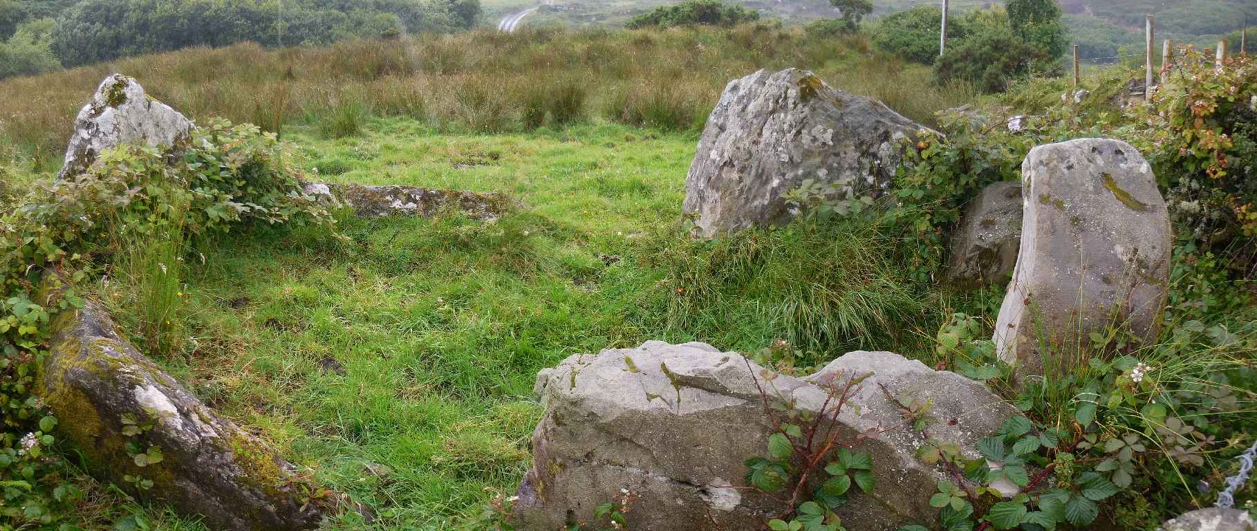
Auf der Landkarte sind zwei megalithische Gräber südlich von Killybegs eingezeichnet. Nach einigem Suchen finden wir das eine Grab, das neben der Roshine Road liegt. Es ist in einer Kurve am Rand eines Feldes und durch Brombeerbüsche und Stacheldraht vor Besuchern geschützt. Viel vom Grab ist nicht mehr zu sehen. Die Suche nach dem zweiten Grab, das dazu noch weitab jeder befahrbaren Straße liegt, ersparen wir uns. Wir wissen nicht einmal welchen offiziellen Namen das Grab hat, so nennen wir es nach der Gegend, Drumanoo. (Auf Streetview ist das Grab noch völlig mit Brombeeren überwuchert.)
On the map there are two Megalithic tombs marked south of Killybegs. After some searching we are able to locate the one that lies beside Roshine Road. It is in a bend on the border of a field and protected from visitors by bramble bushes and barbed wire. There is noch much left of the tomb, however. So we skip the search for the second grave, that also is far from any trafficable road. We do not even know the name of the tomb, so we call it by the name of the townland, Drumanoo. (On Streetview the tomb is still totally covered by bramble bushes.)
Zugeordnete Themen / Assigned Topics:

Lage / Location
Irish grid: G 70022 74011


