Kilmore Quay
(2019-10-10)
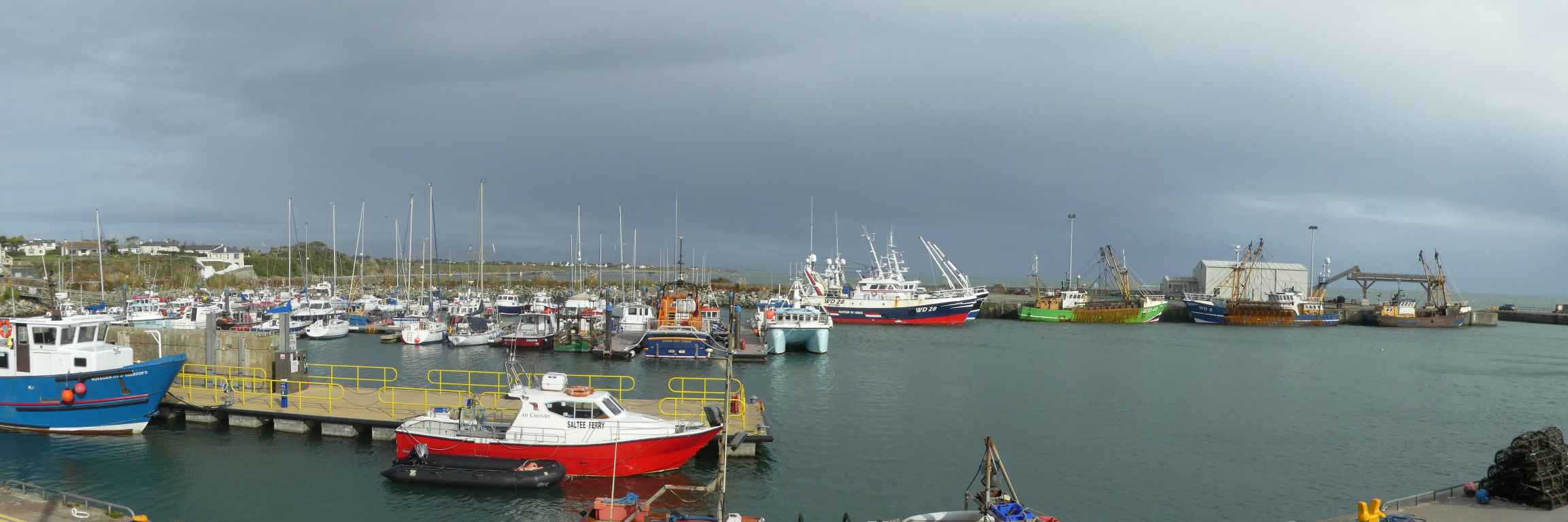
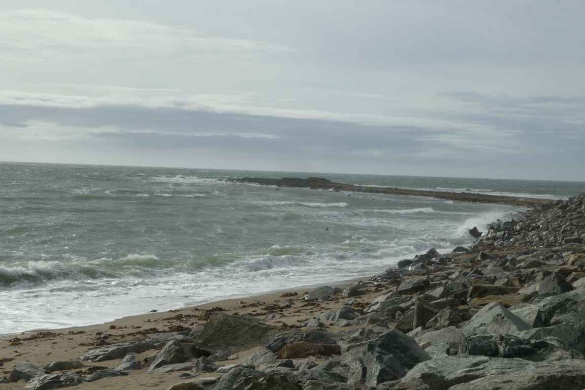
Kilmore Quay ist eine kleine Ortschaft, die von Fischerei und Tourismus lebt. Sie liegt an einer Landspitze und ist - nach Hook Head und knapp vor Carnsore Point - der zweitsüdlichste Punkt von Wexford (die Inseln nicht gerechnet). Der Forlorn Point ragt wie ein schmaler Steinfinger in das Meer und ist auch bei Flut zu sehen. St. Patrick's Bridge östlich des Hafens reicht zwar noch ein bißchen weiter in den Süden, ist aber nur bei Ebbe im Trockenen (die wir bei unserem Besuch nicht haben).
Kilmore Quay is a small village living on fishing and tourism. It lies on a headland and is - after Hook Head and close before Carnsore Point - the second southern point of Wexford (not counting the islands). Forlorn Point reaches like a small stonefinger into the sea and can be seen also at high tide. St. Patrick's bridge east of the harbour reaches a little bit farther to the south but is only dry at low tide (which we do not have at our visit).
Kilmore Quay im Detail / Expand on Kilmore Quay

Zugeordnete Themen / Assigned Topics:
Mehr Informationen über - Kilmore Quay / More information about - Kilmore Quay
Lage / Location
Irish grid: S 96650 03000


