Cork
Fluss Lee / River Lee
(2015-07-09)
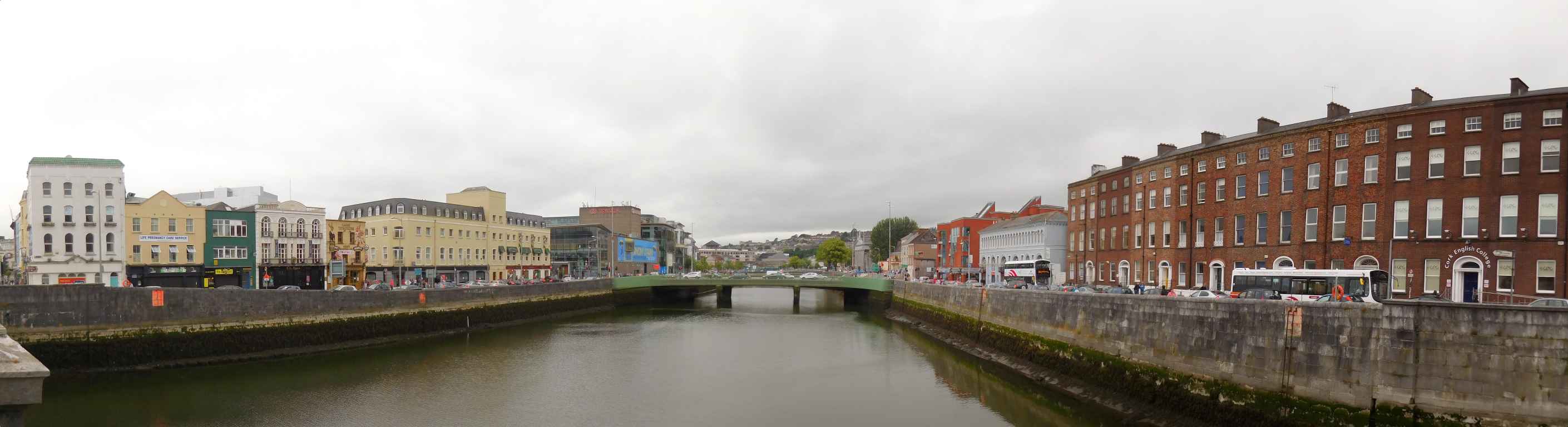
Karten aus dem 16. Jahrhundert (siehe Cork Heritage Link) zeigen die mittelalterliche Stadt Corke (wie sie damals geschrieben wurde) von einer Stadtmauer geschützt und von vielen Nebenläufen des Flusses Lee umgeben. Als die Stadt größer und größer wurde, wurde um Platz zu gewinnen Marschland entwässert und die Nebenläufe zugeschüttet. Um etwa 1800 waren nur mehr der (breitere) Nord- und der (schmälere) Südkanal übrig geblieben, die auch heute noch die Innerestadt begrenzen.
Das Bild wurde auf der St. Patrick's Bridge aufgenommen und zeigt Lavitt's Quay, Christy Ring Bridge und St. Patrick's Quay.
Maps from the 16th century (see Cork heritage link) show the Medieval town of Corke (as it was written then) protected by a city wall and surrounded by many channels of the river Lee. As the town grew bigger and bigger, the marshland was drained to gain additional space and the channels were filled in. About 1800 only the (broader) north channel and the (smaller) south channel remained, that still delimit the inner city.
The picture was shot from St. Patrick's Bridge and shows Lavitt's Quay, Christy Ring Bridge and St. Patrick's Quay.
Zugeordnete Themen / Assigned Topics:

Mehr Informationen über - Fluss Lee / More information about - River Lee
Lage / Location
Irish grid: W 67610 72125
Übersicht über Cork / Overview of Cork


(© OpenStreetMaps contributors)
- CA
- Crawford Kunstgallerie / Crawford Art Gallery
- DO
- Dominikaner Kirche und Priorat zur Hl. Maria / St. Mary's Dominican Church and Priory
- ME
- Mary Elmes Brücke / Mary Elmes Bridge
- OH
- Opernhaus / Opera House
- PA
- St. Patrick Brücke / St. Patrick's Bridge
- PM
- St. Patrick Straße, Pater Mathew / St. Patrick's Street, Father Mathew