Lough Owel
(1994-08-01)
Die Stadt Mullingar (An Muilleann gCearr) liegt zwischen den beiden Seen Lough Ennell (Loch Aininn) im Süden und Loch Owel (Loch Uail) im Norden, die nach Brüdern aus der keltischen Mythologie benannt sein sollen.
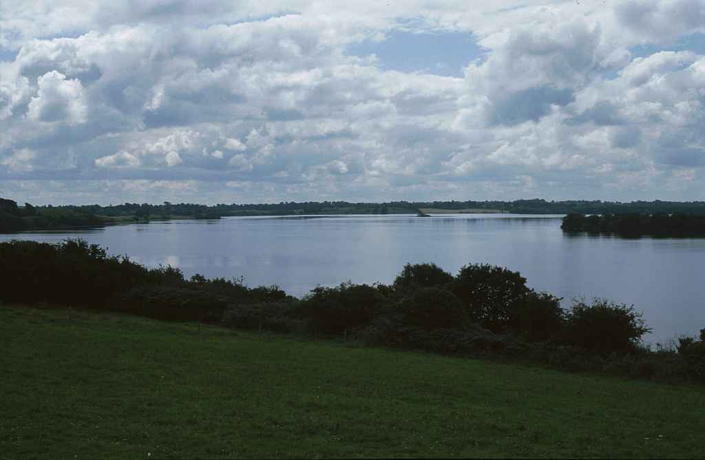
Bei unserem ersten Besuch in 1994 ist Lough Owel der erste See in der Mitte Irlands, an dem wir vorbei kommen. Da auf der Karte eine schöne Aussicht eingezeichnet ist, bleiben wir stehen um uns selbst zu überzeugen. Das Wetter ist angenehm warm, fürs Baden - wie es gerade ein paar Jugendliche tun - ist es uns aber dann doch zu kühl. Erst 2006 erfahren wir, dass vom Lough Owel eine Speisung des Royal Canal nach Mullingar führt.
The town of Mullingar (An Muilleann gCearr) lies between the two lakes Lough Ennell (Loch Aininn) in the south and Lough Owel (Loch Uail) in the south, which are said to be named after brothers from Celtic mythology.
During our first visit in 1994 is Lough Owel the first lake in Ireland's middle that we pass by. The map marks a beautiful view, so we stop and have a look ourselves. The weather is comfortably warm, but too cool for bathing, as some youths do. Not before 2006 we learn that from Lough Owel a feeder of the Royal Canal leads to Mullingar.
Zugeordnete Themen / Assigned Topics:

Mehr Informationen über - Lough Owel / More information about - Lough Owel
Lage / Location
Irish grid: N 42035 58550


