Knockmealdown Berge / Knockmealdown Mountains
Knockmealdown
(2022-07-16)
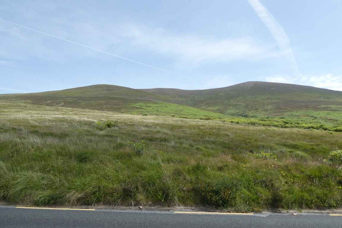
Wir bleiben auf einem Parkplatz in der Nähe der Glentanagree Bridge stehen und gehen ein Stück die Straße entlang, bis wir einen guten Blick auf den Knockmealdown haben (im Bild rechts). Er ist mit 792 m der höchste Berg der Grafschaft Waterford. Von hier aus führt auch ein Wanderweg auf den Berggipfel hinauf.
We stop at a parking area close to Glentanagree Bridge and walk along the road until we have a clear view of the Knockmealdown (in the picture to the right). With 792 m in height it is the highest mountain in the County Waterford. Here is also the beginning of the hiking path up to the mountain peak.
Übersicht über Knockmealdown Berge / Overview of Knockmealdown Mountains
 Bay LoughThe VeeFluss Owenashad / River OwenashadKnockmealdown
Zugeordnete Themen / Assigned Topics:
Mehr Informationen über - Knockmealdown / More information about - Knockmealdown
Lage / Location
Irish grid: S 03975 07805


(© Wiki Commons)
- BE
- Ballyhamsherry Menhir / Ballyhamsherry Standing Stone
- CA
- Cahir
- CL
- Castlelyons Kloster / Castlelyons Friary
- CM
- Clonmel
- CM
- Coole Kloster / Coole Monastery
- CN
- Conna Burg / Conna Castle
- DG
- Dungarvan
- GL
- Glanworth Dominikaner Priorat zum Heiligen Kreuz / Glanworth Dominican Priory of the Holy Cross
- KE
- Killeenemer Kirche / Killeenemer Church
- LA
- Labbacallee Keilgrab / Labbacallee Wedge Tomb
- LM
- Lismore
- TA
- Tipperary