Enniskerry
(2015-05-26, 2017-07-16)
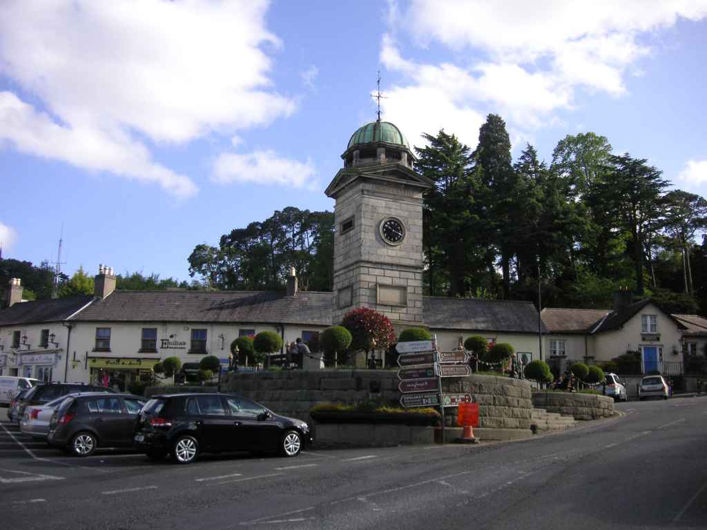
Die Ortschaft Enniskerry (Áth na Sceire, Furt der Steine) wurde im 18. Jahrhundert errichtet, um Unterkünfte für die Pächter des zum Powerscourt Anwesen gehörigen Landes zu schaffen. Die Entfernung zum Garten ist von hier aus etwa 2 Kilometer (allerdings bergauf).
Der Uhrturm in der Mitte des Hauptplatz wurde am St. Patricks Tag 1843 zur Feier des hundertjährigen Bestehens von Powerscourt Garten vom 6. Vicomte von Powerscourt gestiftet. Der Sockel des Turms hat die Form eines Shamrocks.
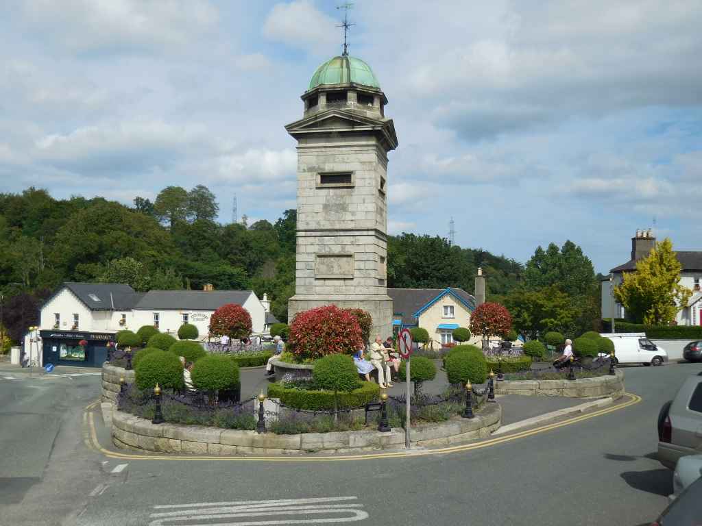
Zwei Jahre später kommen wir wieder durch Enniskerry. Diesmal versuchen wir den Platz von oben zu fotografieren, wodurch das Shamrock besser zu erkennen ist.
The town of Enniskerry (Áth na Sceire, ford of the stones) was built in the 18th century to provide housings for the tenants of the land belonging to Powerscourt Estate. The distance to the garden from here is about 2 kilometres (although uphill).
The clock tower in the middle of the main square was donated by the 6th Viscount of Powerscourt on St. Patrick's Day in 1843 to celebrate the centennial anniversary of Powerscourt Gardens. The socket of the tower is shaped like a Shamrock.
Two years later we pass again through Enniskerry. This time we try to photograph the place from the high ground, which makes the Shamrock better reconizable.
Enniskerry im Detail / Expand on Enniskerry

Zugeordnete Themen / Assigned Topics:
Mehr Informationen über - Enniskerry / More information about - Enniskerry
Lage / Location
Irish grid: O 22325 17350


(© Wiki Commons)
- BD
- Ballybrack Dolmen
- BR
- Bray
- CG
- Carrickgollogan Dolmen
- DL
- Dún Laoghaire
- FF
- 40 Foot Hole
- GD
- Tal der Dodder / Glen Dodder
- GD
- Glaskenny-Onagh Grabanalge / Glaskenny-Onagh Megalithic Tomb
- JT
- James Joyce Turm / James Joyce Tower
- KR
- Killruddery Haus und Gärten / Killruddery House and Gardens
- LB
- Lough Bray Lower
- LH
- Liffey Head Bridge
- LT
- Lough Tay
- PC
- Powerscourt Gardens
- RD
- Redford
- SG
- Wicklow Berge - Sally Gap / Wicklow Mountains - Sally Gap
- SL
- Großer Zuckerhut / Great Sugar Loaf
- VR
- Vartry Reservoir